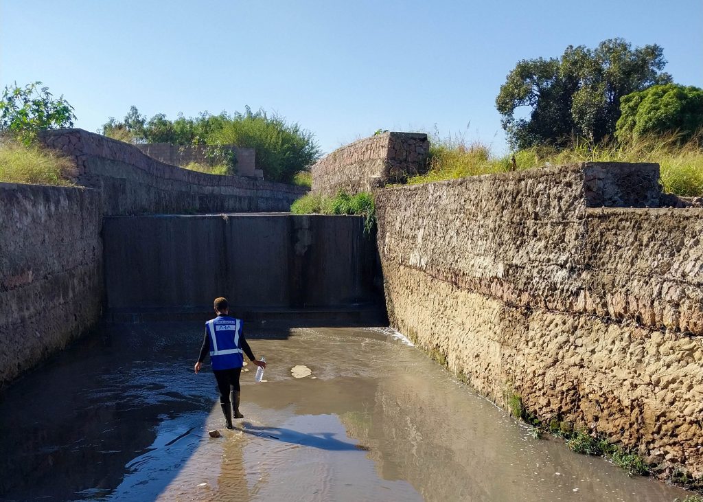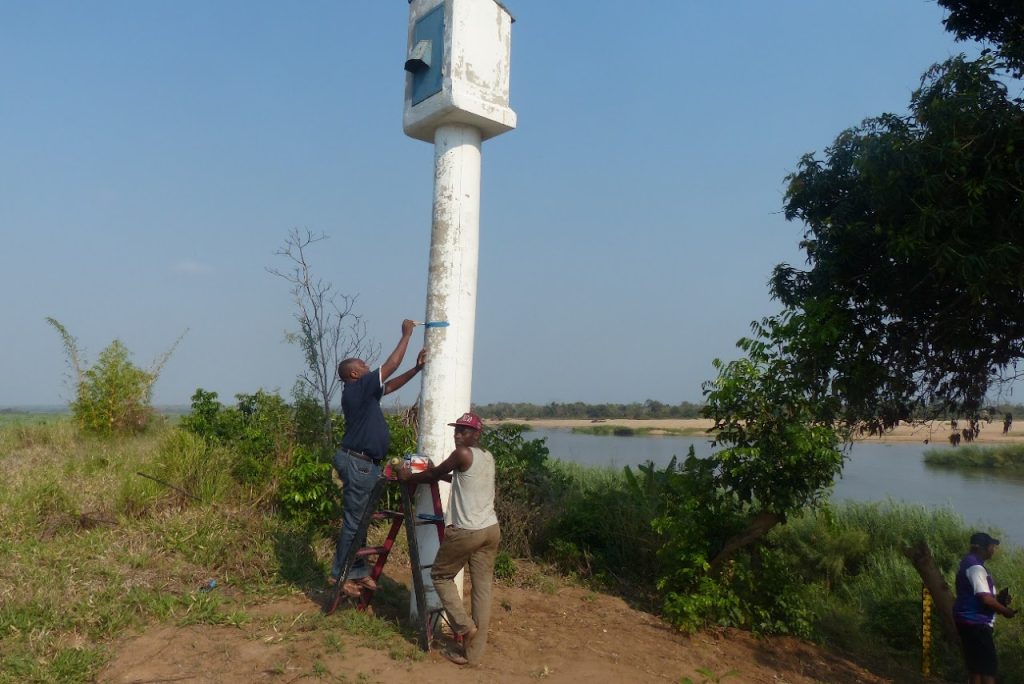
After the cyclone Idai in March 2019, ARA Centro was able to measure the maximum flood levels in the Buzi valley. Resulting in a flood risk map, that shows which areas of the river valley are at risk for such an extreme flood. This map enables necessary discussions about land use planning.
Flood risk management
Flood risk management is part of the Blue Deal project. Proper land use planning in river valleys is a must, to avoid damage by floods. Flood risk maps are crucial for discussions about land use planning.
Measure flood levels
After the extreme flood that was caused by the cyclone Idai in March 2019, flood levels were visible in the landscape of the Buzi valley. With the support of the Blue Deal project, ARA Centro measured these flood levels. A flood risk map emerged. This map shows which areas of the river valley are at risk when such an extreme flood occurs.
Initiate discussions
New discussions about land use in the Buzi Valley will be initiated. All the organizations that are responsible for land use planning, will be involved. The discussions will be based on the flood risk map that is now available.